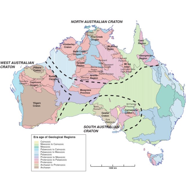
The Rocklea Dome is an area located on the western horn of Australia, and is a volcano-sedimentary formation linking the Pilbara Craton and all-Archean sediments in an oceanic extension mechanism. The goal of this project is to understand the history of the area, then to study the drilling data made by Murchison Metals Ltd. with the tools of the python library developed by DeepLime, and to use this experience to perfect these tools and the guides made available by the company.
Summary#
Data Overview
Exploratory Data Analysis
References#
- FHL18
Francky Fouedjio, E. June Hill, and Carsten Laukamp. Geostatistical clustering as an aid for ore body domaining: case study at the rocklea dome channel iron ore deposit, western australia. Applied Earth Science, 127(1):15–29, 2018. doi:10.1080/03717453.2017.1415114.
- HCLG12
M Haest, T Cudahy, C Laukamp, and S Gregory. Quantitative mineralogy from infrared spectroscopic data – ii. three-dimensional mineralogical characterization of the rocklea channel iron deposit, western australia. Econ Geol., 107(2):229–249, 2012. doi:10.2113/econgeo.107.2.229.